 Import Ground Temp - [source code]
Use this component to visualise ground temperatures throughout the year at specific depths. Please note that epw files usually only provide ground temperature data at depths 0.5 meters, 2 meters and 4 meters thus data has been interpolated for all other depths. In particular this interpolation assumes that ground temperatures do not vary over the seasons once the depth has reach 9 meters below the ground surface. -
Inputs
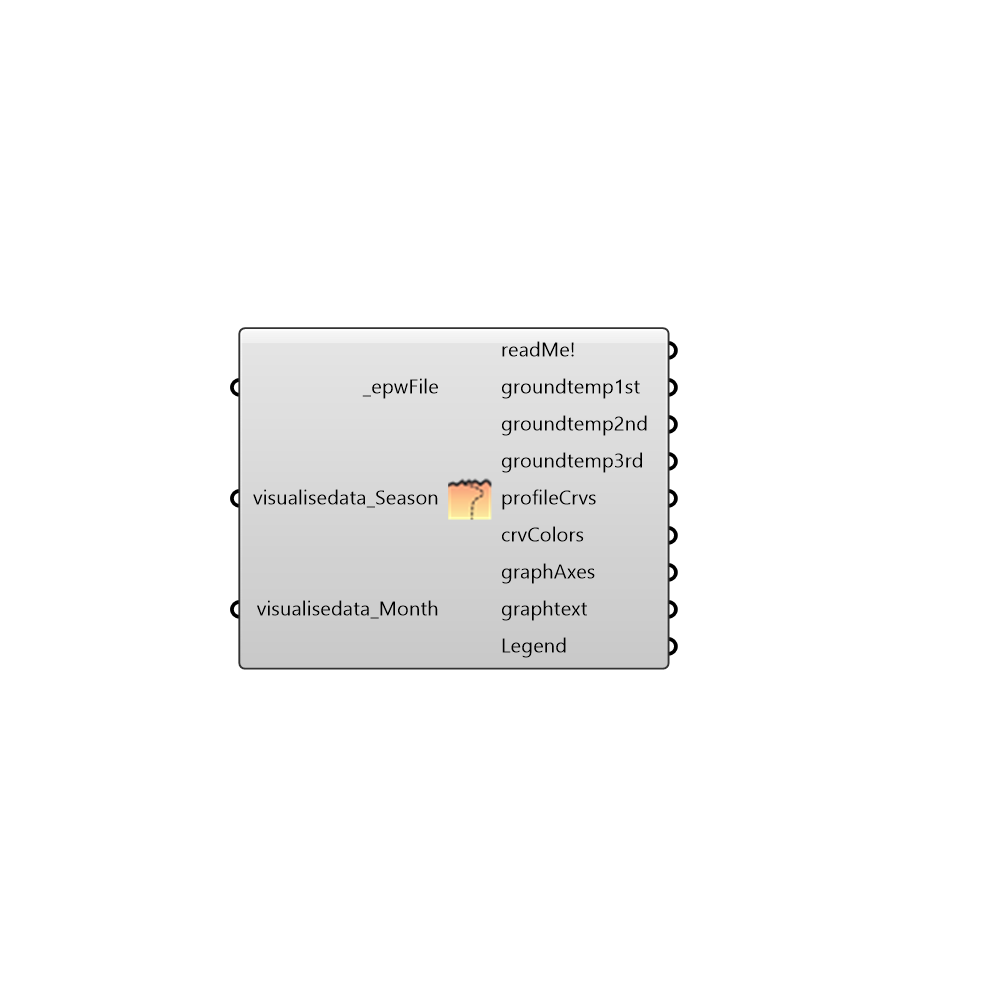
epwFile [Required]
An .epw file path on your system as a stringvisualisedata_Season []
Set to true to visualise the ground temperature data as an average for every seasonvisualisedata_Month []
Set to true to visualise the ground temperature data for every month
Outputs
readMe!
...groundtemp1st
In every epw file there are monthly ground temperatures at 3 different depths this is the 1stgroundtemp2nd
In every epw file there are monthly ground temperatures at 3 different depths this is the 2ndgroundtemp3rd
In every epw file there are monthly ground temperatures at 3 different depths this is the 3rdprofileCrvs
This output draws the curves of the temperature curves connect it to G of the Grasshopper component Custom PreviewcrvColors
This output draws the colours of the temperature curves connect it to S of the Grasshopper component Custom PreviewgraphAxes
This output draws the axes of the graph it doesn't need to be connected to anythinggraphtext
This output draws the text of the graph it doesn't need to be connected to anythingLegend
Script variable Importgroundtemp